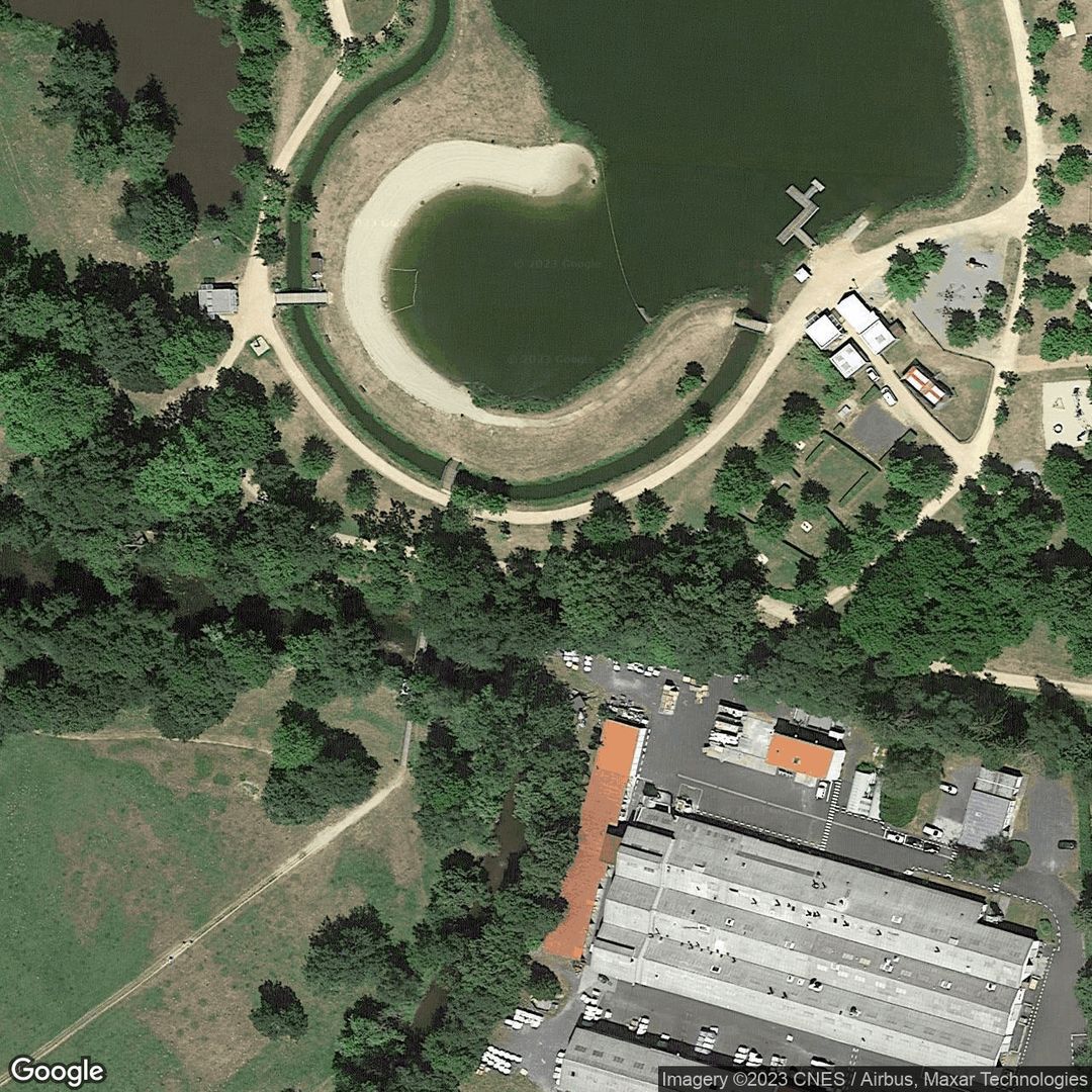
Plan D Eau D Iloa
Thiers, Puy-de-Dôme, Auvergne-Rhône-Alpes
Unlock the Map & More
Sign in to view the interactive map, save your favorite spots, and get personalised recommendations for your next adventure.
Description
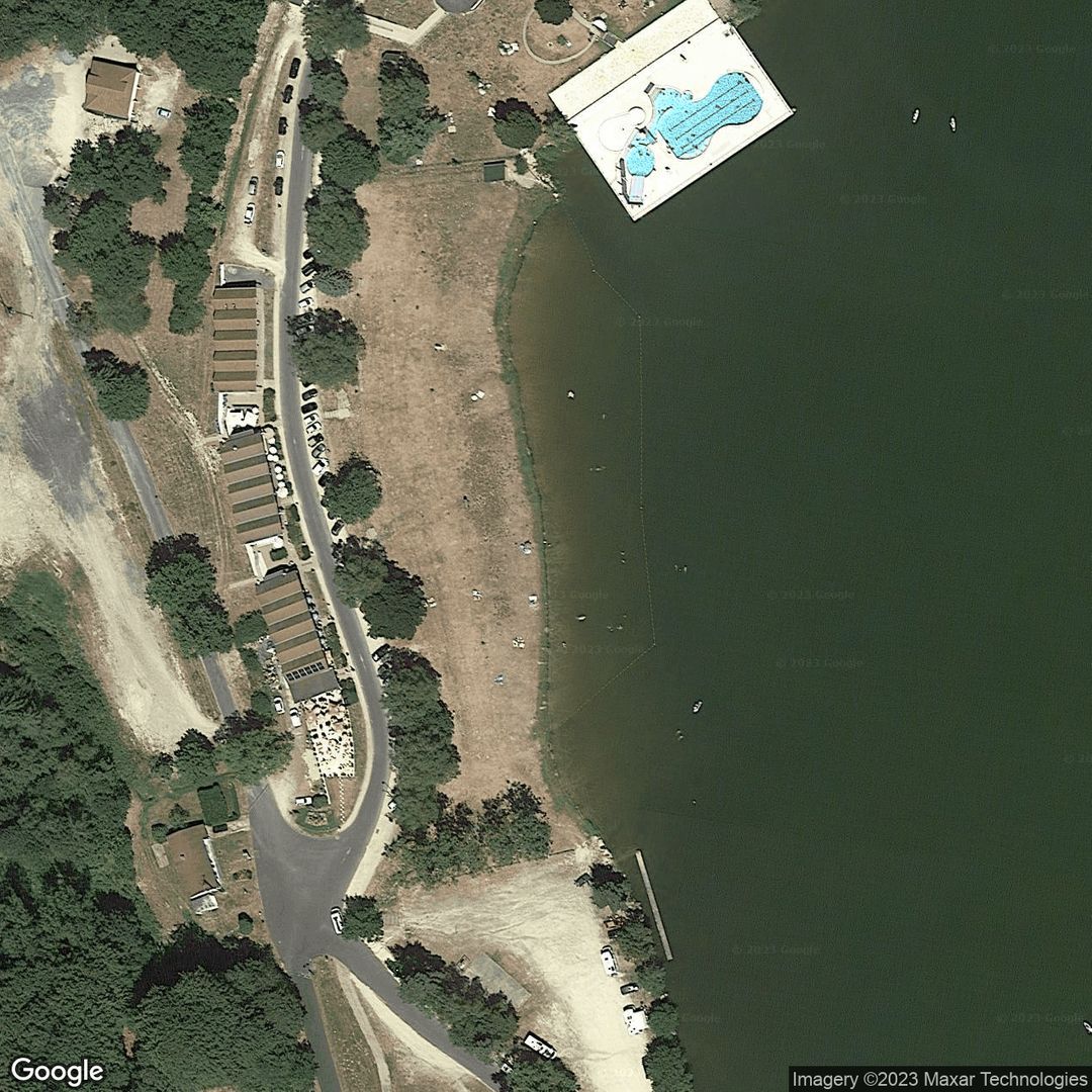
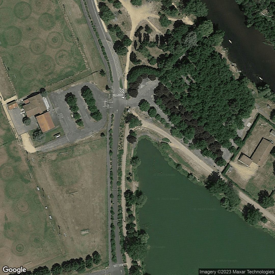
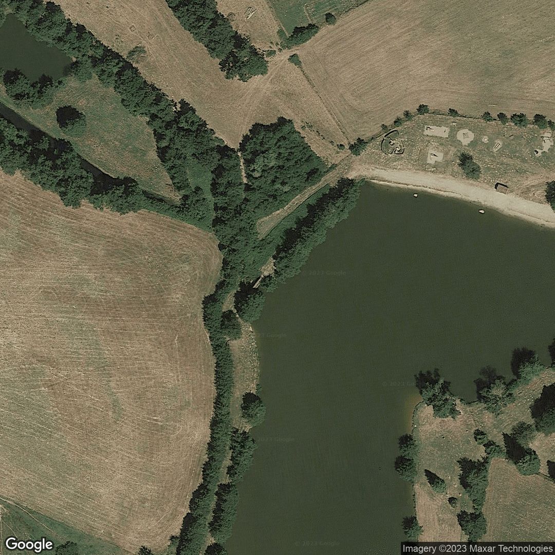
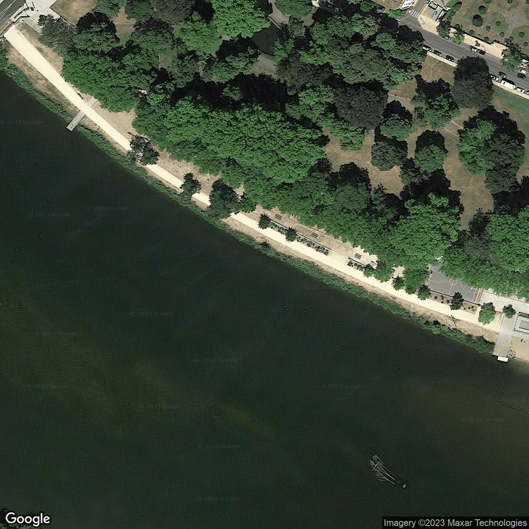
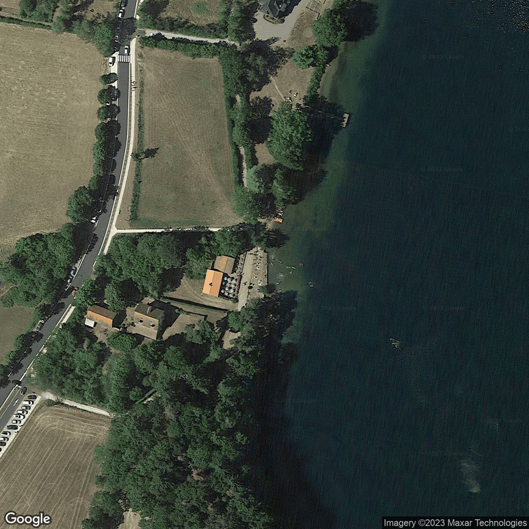
Experience this spot in Thiers. Great location for swimming and paddling, kayaking and canoeing. Thiers is a small town located in the department of Puy-de-Dôme in the Auvergne-Rhône-Alpes region of France. The town is situated on a hill overlooking the Durolle river and surrounded by the scenic Auvergne-Rhône-Alpes countryside. The area is known for its rolling hills, verdant forests, and picturesque villages. The town of Thiers itself is home to several historic buildings and churches, including the medieval Château de la Chassaigne and the Church of St Genès. The region is also renowned for its culinary traditions, particularly its cheeses and charcuterie. Overall, Thiers and its surrounding areas offer visitors a chance to experience the natural beauty and rich cultural heritage of central France.
Get Wild Pro
No bookings fees, watersports stats, weather and perks for 50p / month
find out more
Nearby Businesses
No businesses found nearby
Nearby Spots
Change Tab
No reviews yet
